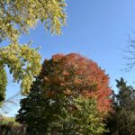
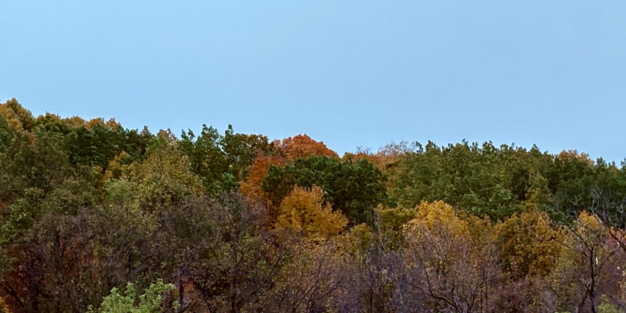
Up north, the maples go first. By the first week of October, Vilas, Oneida and Bayfield counties are usually at or past peak, while Dane County trees are still mostly green. Wisconsin runs a little more than 300 miles from top to bottom, so the color moves south over about a month, and you get more than one chance to catch it.
When to go
Northern Wisconsin, late September to early October. Sugar maples, aspen and paper birch turn first, mixed in with balsam fir and other evergreens that stay green all year.
Central and eastern Wisconsin, early to mid-October. Marathon County, Door County and the northern Driftless come next. Look for red maples, beech and quaking aspen.
Southern Wisconsin, mid- to late October. Dane, Walworth, Milwaukee and Grant counties finish the season. The oaks and shagbark hickories hang on the longest, and they turn brown and bronze instead of bright red.
The weather matters as much as the calendar. A run of sunny days and cool nights that stay above freezing brings out the brightest reds in maples. An early hard frost or a windy rainstorm can end the show in a weekend.
Before you go, check the Travel Wisconsin Fall Color Report, which tracks the color county by county, or the DNR’s fall colors page.
Five drives of about an hour or less
1. Lake Superior Scenic Byway
Route: Bayfield to Cornucopia on Highway 13
Drive time: About 45 minutes
Highway 13 follows the shoreline around the top of the Bayfield Peninsula, through Red Cliff and past views of the Apostle Islands. Before you leave Bayfield, head up into the hills above town, where the orchards sell apples and cider through the fall.
2. Kettle Moraine
Route: Glenbeulah to Dundee through the Northern Unit of the Kettle Moraine State Forest
Drive time: Under an hour
The glaciers left this country full of kettles, steep little hollows where melting ice sat, so the road dips and climbs the whole way. Follow the green acorn signs that mark the Kettle Moraine Scenic Drive. In the thick stretches of maple and oak, the trees meet over the road.
3. Great River Road
Route: Alma to Trempealeau on Highway 35
Drive time: About 55 minutes
Here Highway 35 runs between the Mississippi and bluffs that rise about 500 feet above the river. Fountain City and Buffalo City are small enough to stop in for a sandwich, and there are pull-offs for looking at the river along the way. Perrot State Park at Trempealeau has trails to the top of the bluffs.
4. Door County
Route: Fish Creek to Northport on Highway 42
Drive time: About 45 minutes
Highway 42 runs up the Green Bay side of the peninsula through Ephraim, Sister Bay and Ellison Bay. Near the tip, past Gills Rock, the road curves back and forth through the woods on its way to Northport, the dock for the Washington Island ferry. Lake Michigan holds the warmth in fall, so Door County trees tend to hang on a little longer than inland ones.
5. Baraboo Hills and the Merrimac Ferry
Route: Baraboo to Merrimac on Highway 113
Drive time: About 30 minutes, plus the ferry
Highway 113 heads south out of Baraboo, past Devil’s Lake State Park and over the Baraboo Hills, which are thick with oak and maple. Ride the free Merrimac Ferry across Lake Wisconsin at the end. The crossing takes only a few minutes, and the ferry quits running for the year once the water starts to freeze.
Driving these highways is free. If you want to stop inside a state park, like Devil’s Lake, Peninsula or Perrot, you’ll need a Wisconsin state park vehicle admission sticker.